- +62811-0000000
- info@nectary.id
-
Puri Arsana Blok B No 20 Bojongsari Depok Jawa Barat

European Union Deforestation Regulation (EUDR) Village Scoping and Smallholder Mapping
We started the project by having discussions with GAR and the 2 GAR mills, one located in Jambi and the other in Riau. The purpose of these discussions is to gain a clear understanding of the distribution of villages and smallholders and to align on the data collection methods. The output of this stage includes data on village and smallholder distribution. By establishing this groundwork, we can ensure that the information gathered is comprehensive, creating a solid foundation for the project ahead.
Once the nearly 5,000 farmers were identified, our team began with on-site meetings involving key local stakeholders, including provincial, sub-district, and village government officials, to secure work permits and governmental support. In parallel, we collaborated with village authorities to collect essential information on the smallholder landscape, including the number of smallholders, land area, year of planting, legal land status, and key contacts. During this stage, we also conducted in-depth research on local legality issuance processes and worked with the regional agriculture department to help with the legal assistance plan.
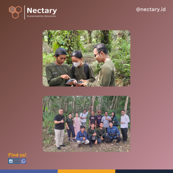
For the village scoping assessment, after completing the research and stakeholder engagement, we proceeded with reviewing the initial data and analyzed the distribution of villages. Our team consolidated the collected information into a comprehensive final report that serves as a foundation for the legality assistance process. Meanwhile, for the smallholder mapping, we mapped the selected smallholders’ land to obtain geolocation land borders and land sizes. We also had focus group discussions (FGDs) at the village level to collect necessary qualitative and quantitative data. The geolocation mapping and data collection during the FGDs were carried out by our on-the-ground team using the Kobo Toolbox.
During the legality assistance process, we followed the issuance procedures for both the STD-B and SPPL. In the final step, we reviewed all smallholders who have successfully obtained their permits, including those still on the waiting list, and took additional steps to ensure that those on the waiting list would be recognized as EUDR compliant. We gained valuable insights from the geolocation mapping and the legality assistance process. All of this analysis has been compiled into a final report, which will serve as a reference for GAR’s future EUDR initiatives.
Please contact us if you want to know more about EUDR and smallholder mapping.
#NectarySustainabilitySolutions #EUDR #deforestationfree
 Eng
Eng
 Indonesia